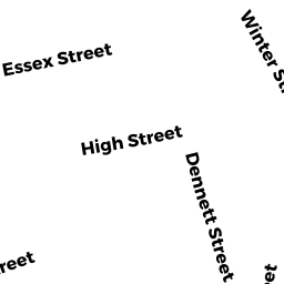
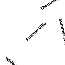
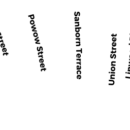
33 THOMPSON ST
Owner Information
KELLEY SUSAN
None
AMESBURY, MA None


Property Details
33 THOMPSON ST is classified as a Two-Family Residential (Family duplex).
The primary structure on this property was built in 1890. There are 4,247ft2 of built area within this property. There is 2,158ft2 of residential/living space within this property. This property is listed as having 12 rooms.
33 THOMPSON ST is valued at $423,300. The land is valued at $145,600 and the structures are valued at $269,000. There is an additional valuation of $8,700 on this property.
This property is in Zone R8. Confirm with local Zoning Board authorities to ensure there are no overlays or other easements on this property.
The most recent deed for 33 THOMPSON ST is recorded at the local registrar in Book 37628, Page 492. 33 THOMPSON ST was last sold on Friday, June 28, 2019 for $482,000.
Assessment data from fiscal year 2022.
Flood Data
According to the FEMA National Flood Hazard Layer, this property does not appear to be in a flood zone. It may also be in an area not yet reviewed. Nonetheless, confirm this information prior to taking any action.
To view the flood hazards around this property, create a FEMA "Firmette" Map of the area around 33 THOMPSON ST.
Broadband Internet Providers
| Provider | Type | Bandwidth (mbps) | |
|---|---|---|---|
| GCI Communication Corp. | Satellite | 0 | 0 |
| Viasat Inc | Satellite | 100 | 3 |
| Verizon New England Inc. | DSL | 15 | 1 |
| Comcast | Cable | 1000 | 35 |
| T-Mobile | Fixed Wireless | 25 | 3 |
| HughesNet | Satellite | 25 | 3 |
| VSAT Systems, LLC. | Satellite | 2 | 1 |
Broadband service provider data from December 2020.
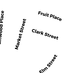
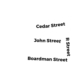
Adjacent Properties
- 72 HIGH ST
Single Family Residential owned by ROLAND P DELIBERTIS REVOCABLE TRUST - 76 HIGH ST
Two-Family Residential owned by HARRIS LEANDER A - 37 THOMPSON ST
Three-Family Residential owned by NADEAU DONALD J - 25 THOMPSON ST
Single Family Residential owned by HENDRICKSON ROBERT A - 70 HIGH ST
Single Family Residential owned by CROSSMAN RAYMOND